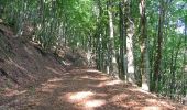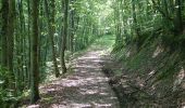

Un grande anello sopra a Castel dell’Alpe
SityTrail - itinéraires balisés pédestres
Tous les sentiers balisés d’Europe GUIDE+

Longueur
14,5 km

Altitude max
1141 m

Dénivelé positif
632 m

Km-Effort
23 km

Altitude min
680 m

Dénivelé négatif
626 m
Boucle
Oui
Balise
Date de création :
2022-02-15 17:50:55.373
Dernière modification :
2022-03-01 21:56:22.687
5h12
Difficulté : Moyen

Application GPS de randonnée GRATUITE
À propos
Randonnée A pied de 14,5 km à découvrir à Émilie-Romagne, Forlì-Cesena, Portico e San Benedetto. Cette randonnée est proposée par SityTrail - itinéraires balisés pédestres.
Description
Randonnée créée par Parco Nazionale Foreste Casentinesi.
Localisation
Pays :
Italie
Région :
Émilie-Romagne
Département/Province :
Forlì-Cesena
Commune :
Portico e San Benedetto
Localité :
Unknown
Départ:(Dec)
Départ:(UTM)
716786 ; 4871160 (32T) N.
Commentaires
Randonnées à proximité
Sorgenti di Firenze Trekking – Anello Principale: Tappa 3


A pied
Facile
San Godenzo,
Toscane,
Firenze,
Italie

11,6 km | 17,9 km-effort
4h 4min
Non
I Monti Gemelli


A pied
Moyen
Premilcuore,
Émilie-Romagne,
Forlì-Cesena,
Italie

16,9 km | 30 km-effort
6h 42min
Oui
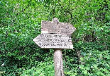
L’anello classico dell’Acquacheta


A pied
Facile
Portico e San Benedetto,
Émilie-Romagne,
Forlì-Cesena,
Italie

10,3 km | 17,1 km-effort
3h 53min
Oui
Per andare a Monte dei Gralli


A pied
Facile
San Godenzo,
Toscane,
Firenze,
Italie

12,2 km | 18,3 km-effort
4h 8min
Oui

(SI L07) Passo del Muraglione - Passo della Colla di Casaglia


A pied
Difficile
San Godenzo,
Toscane,
Firenze,
Italie

24 km | 36 km-effort
8h 5min
Non
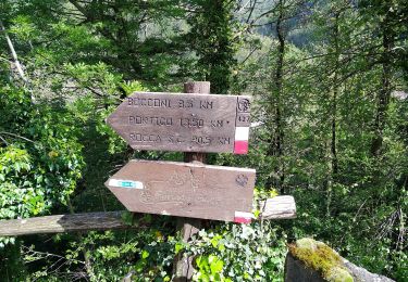
Sentiero Natura Acquacheta


A pied
Facile
San Godenzo,
Toscane,
Firenze,
Italie

4,6 km | 5,7 km-effort
1h 17min
Non

IT-427


A pied
Moyen
Portico e San Benedetto,
Émilie-Romagne,
Forlì-Cesena,
Italie

14,9 km | 22 km-effort
4h 58min
Non

IT-417


A pied
Facile
Premilcuore,
Émilie-Romagne,
Forlì-Cesena,
Italie

4,8 km | 7,1 km-effort
1h 36min
Non
IT-421


A pied
Facile
Premilcuore,
Émilie-Romagne,
Forlì-Cesena,
Italie

4,2 km | 6,6 km-effort
1h 29min
Non


 SityTrail


